UTAH, Feb. 20, 2023 (Gephardt Daily) — Utah is expecting a big winter storm this week, expected to hit Tuesday afternoon, with flakes flying for much of the rest of the week.
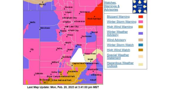
Much of the state is already under a winter storm warning, according to the National Weather Service Salt Lake City office. But what will weather be like in your neck of the woods?
The NWS has predictions for that, too. See what the office says about the rest of your week, below. Winds are also expected in some areas, so tie down what needs it before mid-Tuesday.
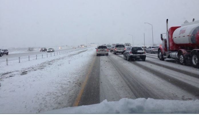
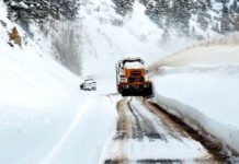
Then watch for the rain, turning into snow and accompanying travel hazards. And for best results, stay off the roads Tuesday night through Wednesday afternoon if you can.
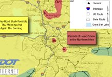
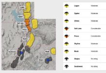
The map below shows statewide conditions as of noon Monday afternoon. All the graphics below are from the National Weather Service.
For updated information on the statewide, interactive map, click the National Weather Service link, here.
To see local forecasts, check below. Locations are are listed north to south.
● ● ●
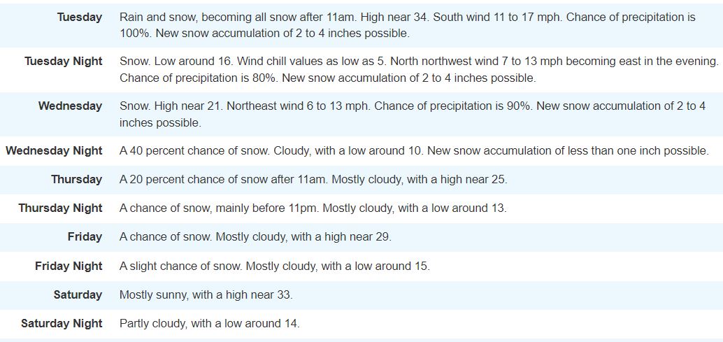
Logan/Cache County
Here’s the Logan/Cache County forecast, starting in the morning. To check for updated information, click here.
● ● ●
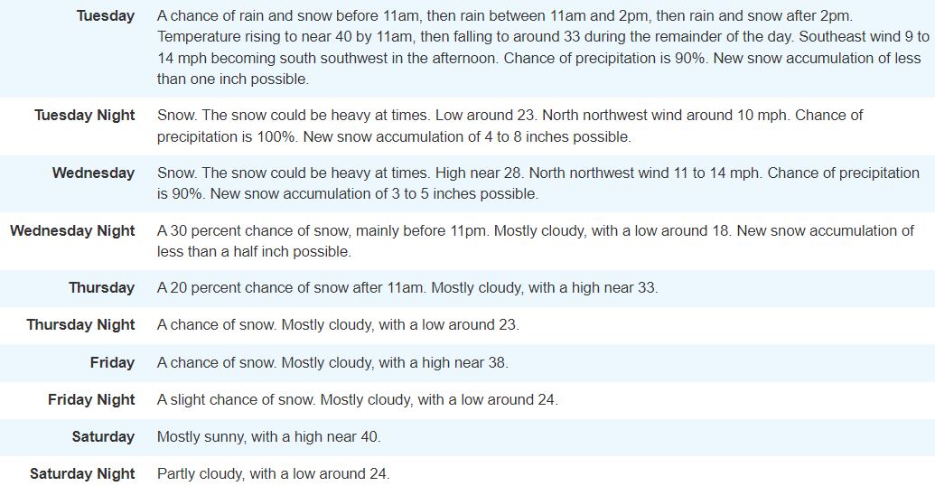
Salt Lake City
Here’s the Salt Lake City area forecast, starting Tuesday. To check for updated information, click here.
● ● ●
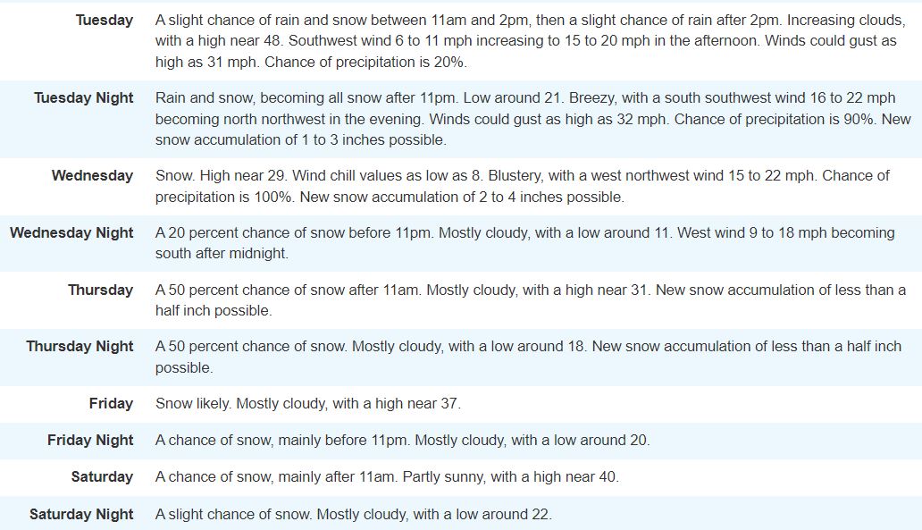
Central Utah
Here’s the Central Utah forecast starting Tuesday, based on weather predicted for Richfield. For updates, click here.
● ● ●
Moab/Grand Junction
Here’s the forecast for the Moab/Grand Junction, Colo., area. For updates, click here.
● ● ●
St. George
And here’s the forecast for the St. George area. For updates, click here.

