

SALT LAKE CITY, Utah, Aug. 6, 2022 (Gephardt Daily) — Monsoonal moisture hit northern Utah on Saturday and it’s expected to return next week, according to the National Weather Service.
Heavy rainfall was reported in several areas of northern Utah on Saturday afternoon, leading to a flash-flood advisory for Salt Lake, Davis and Tooele counties.
Drier conditions are expected Sunday and Monday, with temperatures at or below normal, according to the National Weather Service in Salt Lake City. However, “monsoonal moisture is expected to return to the area for the middle to latter part of the week,” the NWS forecast states.
Saturday’s storm dropped nearly 2 inches of rain (1.89) in Tremonton in Box Elder County, and nearly an inch in South Salt Lake (0.95) and Salt Lake City (0.88), according to NWS precipitation totals.
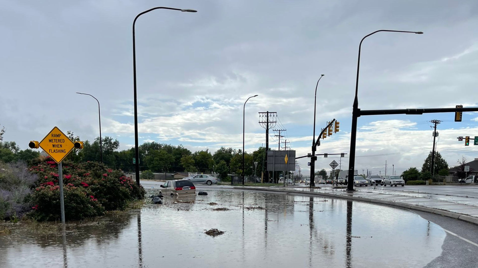
The heavy rainfall also left standing water on several northern Utah roadways, including:
- The Interstate 15 underpass at 3300 South, and 3300 South at 500 West in South Salt Lake.
- The I-15 onramp at 2600 South in Bountiful.
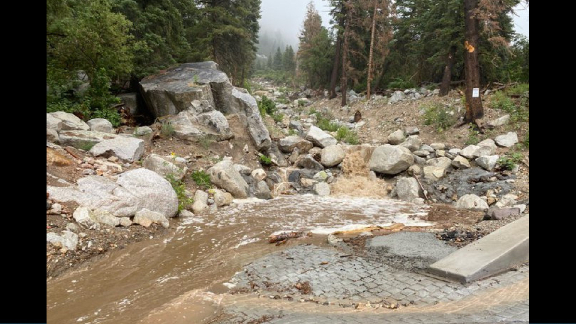
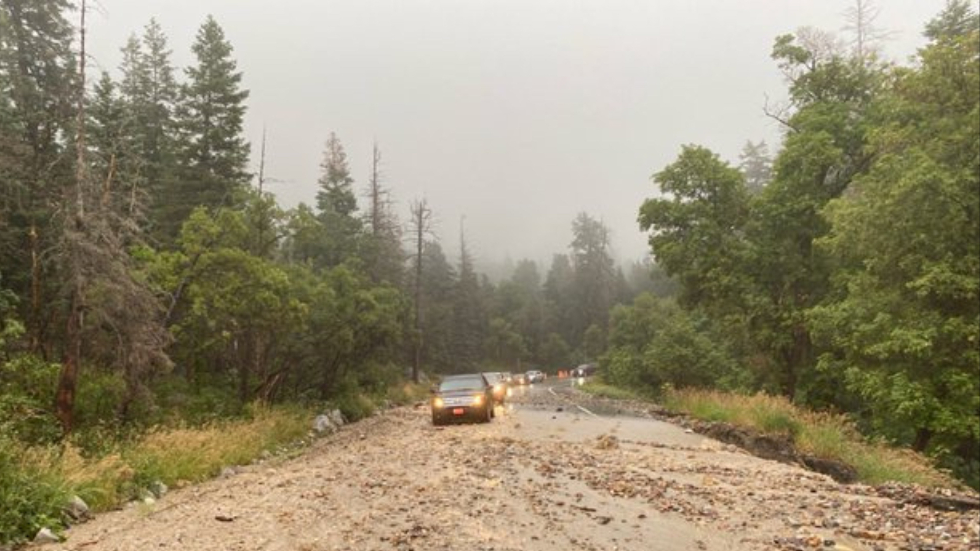
- State Route 210 in Little Cottonwood Canyon near Lisa Falls.
Bountiful activated its emergency prepared team after rainfall washed rocks onto roadways and displaced manhole covers, city officials said. Sandbags were made available to residents at the city’s public works building.


