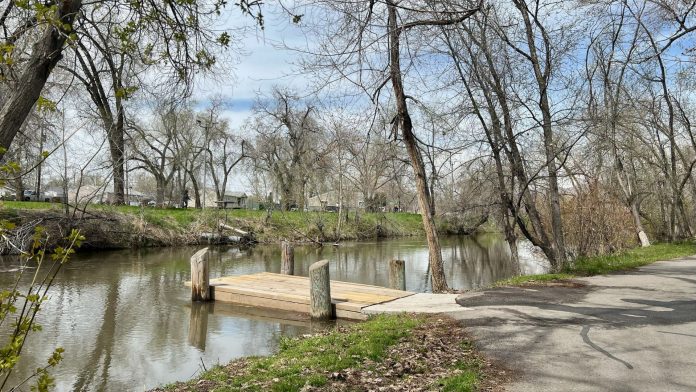
SALT LAKE CITY, Utah, April 28, 2023 (Gephardt Daily) — The National Weather Service has issued a river flood watch for several northern Utah waterways through early next week.
Rivers and creeks are expected to rise significantly over the weekend and into next week as warming temperatures speed up melting of Utah’s record snowpack, according to the NWS in Salt Lake City.
The NWS is projecting the most significant rises in levels at three waterways where flood watches already are in place:
- East Canyon Creek near Jeremy Ranch and downstream to East Canyon Reservoir
- Lower Weber River in Plain City
- Little Bear River in Paradise, Cache County
Flows are expected to peak early next week, creating the potential for flooding, according to the NWS. Water levels could decrease late next week as cooler temperatures return.
Temperatures are expected to steadily warm into early next week and could challenge daily heat records in several areas of the state, according to the NWS. The forecast in Salt Lake City calls for afternoon highs of 85 on Sunday and 87 on Monday.
Those who live in areas with potential for flooding are encouraged to utilize sandbags to help protect their property. Residents also should use caution around flood waters, and monitor social media and news reports, according to the NWS.
Officials also urge caution when recreating near rivers and creeks as water is expected to be running fast and very cold.
“Hypothermia and drowning are possible with even brief periods of time in the water,” the NWS stated on social media.
“Give swollen waterways a wide berth and monitor children and pets closely as they can quickly drown in the cold, fast flows,” the post states.


