UTAH, Sept. 21, 2022 (Gephardt Daily) — Residents of Utah are bracing for an active weather day, which could result in flash flooding and other dangerous conditions, especially in the southern and western regions of the state.
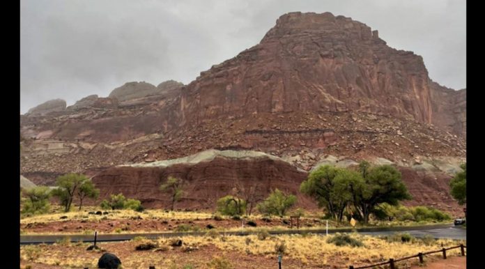
Capitol Reef National Park is among the locations which could be hardest hit.
“Road and weather update: The Scenic Drive is closed just south of the campground due to flowing water across the road in multiple places,” says a Facebook post issued Wednesday morning. “Conditions of dirt roads in the park are unknown and not advised. The Flash Flood potential rating for today is Expected. Please avoid canyons and areas prone to flooding.”
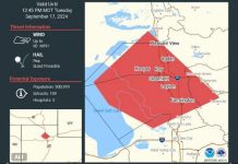
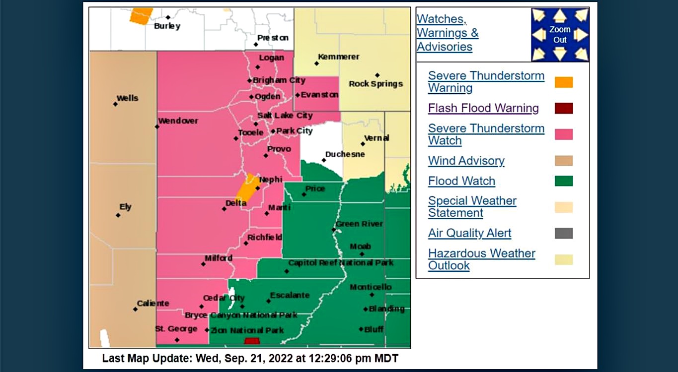
The National Weather Service, Salt Lake City office, issued the map below at 12:29 p.m. Wednesday.
The area marked in pink indicates a severe thunderstorm watch.
The large area marked in green shows the areas under a flood watch.
The orange areas in the middle of the state, between Delta and Nephi, show a severe thunderstorm warning is in effect, while the red area near Utah’s southern warn of flash flooding.
To see an updated version of the map as the day progresses, click here.
Areas at highest risk of flash flood warning are slot canyons, areas of normal dry washes an areas with scars from recent fires, the NWS page says.
Hikers and recreationalists are urged to use caution or consider making other plans, the site says.

