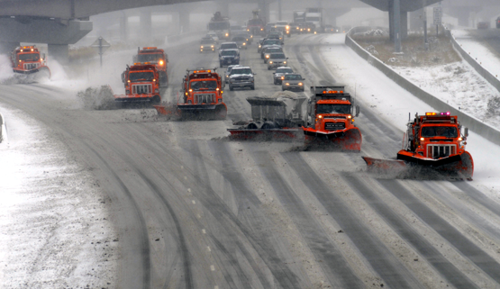
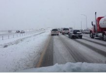
UTAH, March 8, 2019 (Gephardt Daily) — Friday, 12 days before the official first day of spring, a later-winter snowstorm caused multiple traffic accidents, closed at least one canyon and made driving conditions miserable across much of the state.
A rockslide, a vehicle accident and snowy roads closed Ogden Canyon before noon, and both Little and Big Cottonwood Canyon were restricted to vehicles with four-wheel drive or chains as of 2 p.m.
Unified Police Department Canyon Patrol later advised that Little Cottonwood Canyon was closed Friday evening and is expected to be reopened at 8 a.m. Saturday.
A little while later Friday, the Utah Department of Transportation tweeted notice that eastbound semis on Interstate 80/Parleys Canyon would require chains.
Much of the state is under a winter weather advisory as of Friday afternoon. So what’s the weekend weather ahead for drivers and hunkered-down homebodies?
Details for different regions of the state are below, with links to click for updates. Graphics are from the National Weather Service.
The image immediately below shows conditions as of 3:36 p.m. Friday. For updated information and to use interactive features, click the National Weather Service link, here.

To see local forecasts, check below. Locations are are listed north to south.
● ● ●
Here’s the Logan/Cache County forecast. To check for updated information, click here.

● ● ●
Here’s the Salt Lake City area forecast. To check for updated information, click here.


● ● ●
Here’s the Central Utah forecast from Friday afternoon through Monday, based on weather predicted for Richfield. For updates, click here.


● ● ●
Here’s the forecast for the Moab/Grand Junction, Colo., area. For updates, click here.


● ● ●
And here’s the forecast for the St. George area. For updates, click here.


