NORTHERN UTAH, Jan. 3, 2022 (Gephardt Daily) — Snow and high winds are expected to move into northern Utah beginning Tuesday morning.
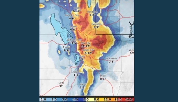
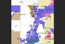
A series of storm systems will result in periods of snow for parts of northern Utah and southwest Wyoming Tuesday morning into Thursday, said a tweet from the National Weather Service Salt Lake City.
“The snow could result in significant travel impacts for the Wednesday morning commute,” the tweet said.
Snow will begin at approximately 5 a.m. Tuesday in northern Utah and southwest Wyoming. A lull is expected Tuesday night then another winter storm will move in Wednesday morning through Thursday morning.
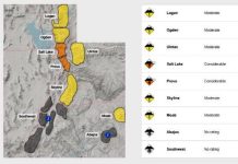
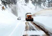
Travel could be a challenge in southwest Wyoming, the mountains of northern Utah and the valleys near the Idaho border, and also during the Wednesday morning commute along the Wasatch Front, the tweet said.
In addition, wind gusts of up to 60 mph are expected for southwest Wyoming and the mountains of northern Utah at times Tuesday into Wednesday. These strong winds will create areas of blowing snow that will significantly reduce visibility, a follow-up tweet said. Drivers should avoid travel in these areas if possible.
Winds will ramp up Tuesday morning, becoming the strongest Tuesday afternoon, with gusts of up to 60 mph in southwest Wyoming and the mountains of northern Utah.
After a lull Tuesday night, winds will develop again Wednesday morning through Wednesday afternoon.
“The strong winds will produce areas of blowing snow that will significantly reduce visibility in southwest Wyoming, Logan Summit, Sardine Summit and other high elevations of northern Utah,” the tweet said.
Gephardt Daily will have more on this developing story as information is made available.


