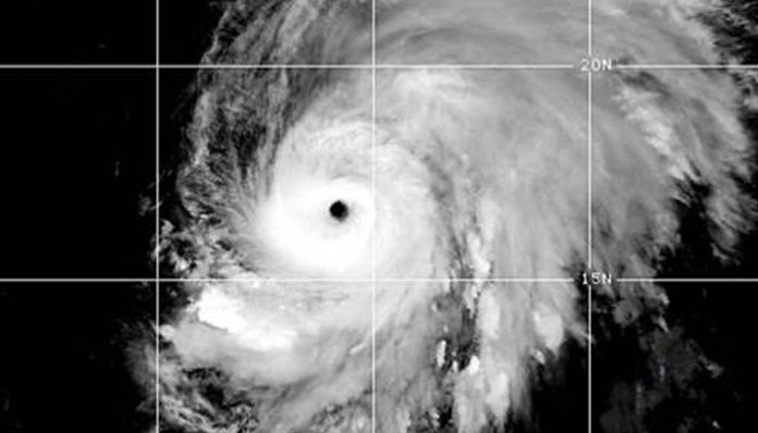
Sept. 27 — Hurricane Lorenzo strengthened into a Category 4 storm Thursday, producing swells that could affect parts of the Windward Islands and South America, the National Hurricane Center said.
The eye of the major hurricane was about 1,095 miles west of the southernmost Cabo Verde Islands in the NHC’s 5 p.m. EDT update. The storm was moving northwest at 12 mph with 140 mph maximum sustained winds.
The storm isn’t forecast to make landfall in the coming days, though a turn toward the northeast Saturday could bring Lorenzo near the Azores in the middle of next week. Forecasters predict the storm will weaken below Category 3 on Monday.
Swells generated by the storm could cause life-threatening surf and rip currents in the Windward Islands and northeastern South America.
Lorenzo is the season’s second Category 4 or higher storm. Dorian reached Category 5 status near the Bahamas.
According to Colorado State University Meteorologist Philip Klotzbach, the Western Hemisphere, which encompasses the Atlantic and eastern Pacific basins, has generated 16 named storms since Aug. 21.
“This is the most on record for the Western Hemisphere between Aug. 21-Sept. 23, breaking the old record of 15 named storms set in 1984 and 2002,” he wrote on Twitter.


