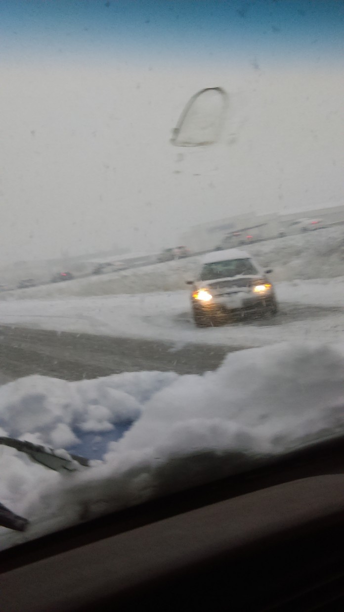
Snowstorm Brings Chaos to Utah
 SALT LAKE CITY, UTAH – April 15, 2015 (Gephardt Daily) — The cold front sweeping the state brought rain and the snow to the mountains and valley floors Tuesday night into Wednesday morning. The storm will bring 8-16 inches of snow to the Wasatch Mountains and an estimated 2-4 inches of snow to the valley floor.
There is a winter storm warning in effect until 4 p.m. today.
- Affected area: The Mountains of northern and central Utah.
- Snow accumulations: storm total 15 to 25 inches northern mountains, with locally greater accumulations in the
 Cottonwood Canyons. The central mountains will receive between 3 and 7 inches through this afternoon.
 - Timing: Snow, very heavy at times, will taper to showers by afternoon. These showers will continue into this evening before diminishing.
- Impacts: accumulating snowfall will impact travel through the higher terrain from the Wasatch Plateau north through the Wasatch and Western Uinta Mountains. This includes all Mountain roadways.
A multiple-vehicle accident brought traffic to a complete standstill on southbound I-15 at 600 North. UDOT said chains or four-wheel drive were required for all vehicles in Big and Little Cottonwood canyons.
In Parleys Canyon, all eastbound traffic was required to have chains or four-wheel drive. The same applied to westbound semis.
Rocky Mountain Power said in the Salt Lake Metro Area, approximately 3,194 customers are without power. Other areas with power outages are Sandy, Kearns, Taylorsville, West Valley City and South Ogden.


