Oct. 6 (UPI) — About 10 days after a giant snowstorm buried the northern Rockies and adjacent Plains of the United States, a new storm has its sights set on bringing some significant snow to the region next week.
That late-September storm dropped up to 52 inches of snow on parts of Montana and delivered record-setting snowfall to locations such as Missoula.
People with outdoor plans and motorists scheduled to travel through Montana, Idaho, Wyoming and the Dakotas during the middle days of the coming week should monitor the weather. There is the risk of significant disruptions to daily activities and travel from an impending winter-style storm.
Major U.S. highways that can be adversely affected by the storm include interstates 15, 25, 90 and 94, as well as Canada highways 1, 2 and 3. The storm will bring enough cold air with it to produce some snow accumulations on roads not only in the higher elevations but also farther east. Icy conditions may develop in the wake of the storm as wet areas freeze up.
The storm is first forecast to bring areas of rain, snow and a wintry mix to part of Alaska this weekend, before it moves on to impact parts of Canada and the contiguous U.S. Snow may cover the ground around Fairbanks, while an inch or 2 of snow may fall in the Anchorage area.
During the first part of next week, the storm will spread rain and locally heavy mountain snow southeastward through British Columbia and southwestern Alberta. Calgary could be on the receiving end of 3 inches to 6 inches of snow.
Next stop for the storm will be the northern Rockies and High Plains of the United States from late Monday night to Wednesday.
The exact track of the storm as it plunges into the United States will determine the north-to-south extent of the snow.
“While fast movement of this storm, compared to that of the September storm, will limit the amount and duration of snowfall, a few inches to a foot of snow can fall,” AccuWeather storm warning meteorologist Brian Knopick said.
Some of the north- and east-facing slopes of the Sawtooth, Lewis and Clark, Bighorn, Bitterroot, Clearwater, Absaroka and Tetons are among the locations that may receive 6 inches to 12 inches of snow from the storm.
Unlike the last snowstorm that buried the Rockies, accumulating snow is also likely to extend farther east, according to AccuWeather Meteorologist Jake Sojda. The first snow of the season is expected for communities from the Dakotas to western Minnesota.
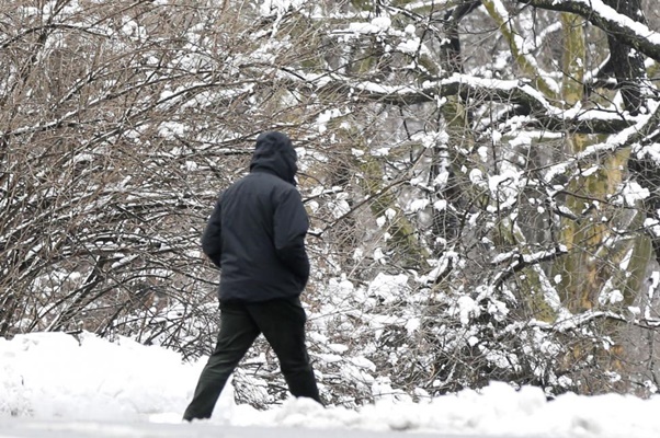
While the storm may start briefly as rain over the mountains, rain is likely to transition to snow progressively farther to the east over the Plains. The mild to cold transition during the storm will tend to cause the snow to cling to the trees at first, which can lead to broken limbs and power outages.
A few inches of snow may fall over parts of the Dakotas and, perhaps, part of western Minnesota as the storm strengthens and slows its forward speed.
The storm, like many that affect the region, will coincide with a southward press of cold air.
As the snow becomes more powdery in nature as temperatures fall during the storm, increasing winds are likely to cause some blowing and drifting of snow.
The same storm is poised to bring a round of severe weather to parts of the Midwest later next week.
Details will follow in the coming days.
The storm will follow another storm set to bring another round of drenching rain and localized flooding to parts of the Upper Midwest this weekend.


