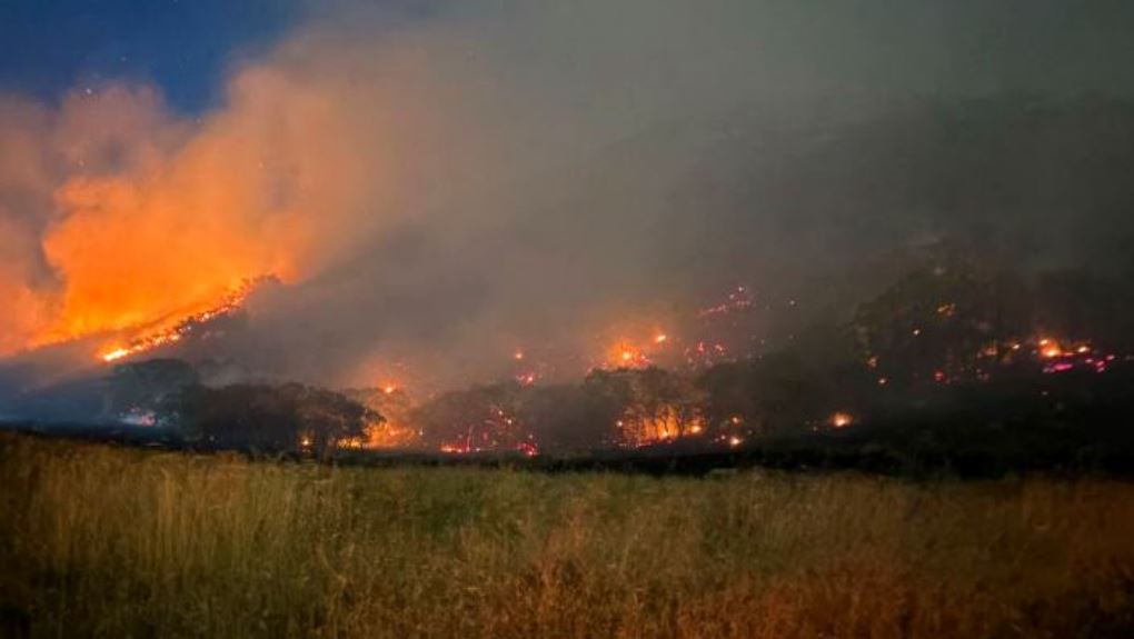
SALT LAKE CITY, Utah, June 21, 2026 (Gephardt Daily) — The Bonneville Fire, discovered Saturday in the northeast part of the Salt Lake City Valley, was mapped Sunday morning at 395 acres, and zero percent contained.
“The fire remained active overnight, and firefighters worked the perimeter throughout the night,” the Utah Fire Info update says.
“Still no residences under evacuation, and the shelter in place was lifted around midnight last night. We still ask residents and the public to avoid the area as much as possible to not impede firefighter traffic.
“A TFR (Temporary Flight Restriction) is in place over the fire area. Drones are prohibited within the TFR. The trails in the area are also closed (Bonneville Trail, City Creek, Dry Creek, Red Butte).
“Law enforcement will be patrolling the area and dealing with and intrusions, either drones or trails.”