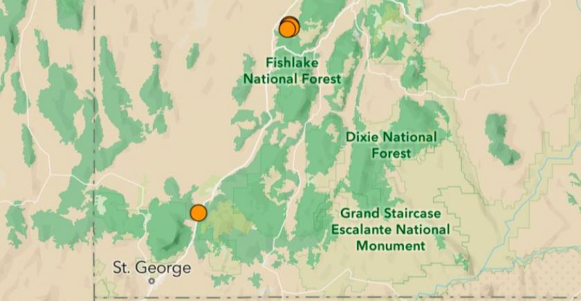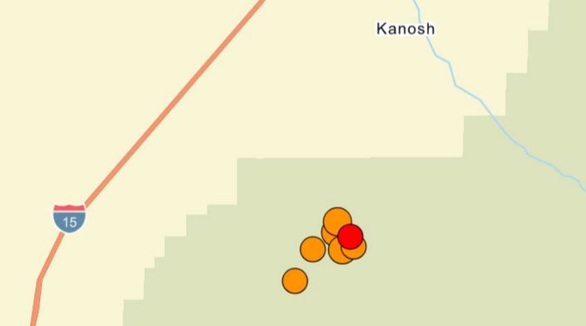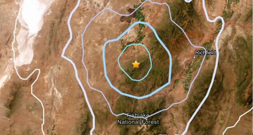
MILLARD COUNTY, Utah, April 19, 2026 (Gephardt Daily) — Numerous small earthquakes have rattled Millard County Sunday morning, the largest so far with a magnitude of 3.6, which is still considered relatively minor.
Five large enough to be reported by the University of Utah Seismic Center to the U.S. Geological Survey occurred between 5:45 a.m. and 8:53 a.m., and a sixth hit at 10:29 a.m.
Another quake hit earlier, but much further south, at 12:37 a.m. in Kanarraville.
Below is a list of the small quakes, ordered by time of occurrence.
- 3.0 magnitude, located 1.2 miles west-northwest of Kanarraville, at 12:37:45 a.m., at a depth of 3.7 miles
- 3.2 magnitude, located 4.3 miles south-southwest of Kanosh, at 5:45:29 a.m., at a depth of 2 miles
- 2.6 magnitude, located 4.9 miles SSW of Kanosh, at 5:48:09, at a depth of 3 miles
- 3.3 magnitude, located 4.3 miles SSW of Kanosh, at 7:47:13. at a depth of 3 miles
- 3.6 magnitude, located 4.9 miles SSW of Kanosh, at 8:43:47, at a depth of 0.3 miles
- 2.5 magnitude, located 6.2 miles SSW of Kanosh, at 8:53:47 a.m., at a depth of 1.2 miles
- 2.6 magnitude, located 4.3 miles SSW of Kanosh, at 10:29:24 a.m., at a depth of 3.1 miles.