

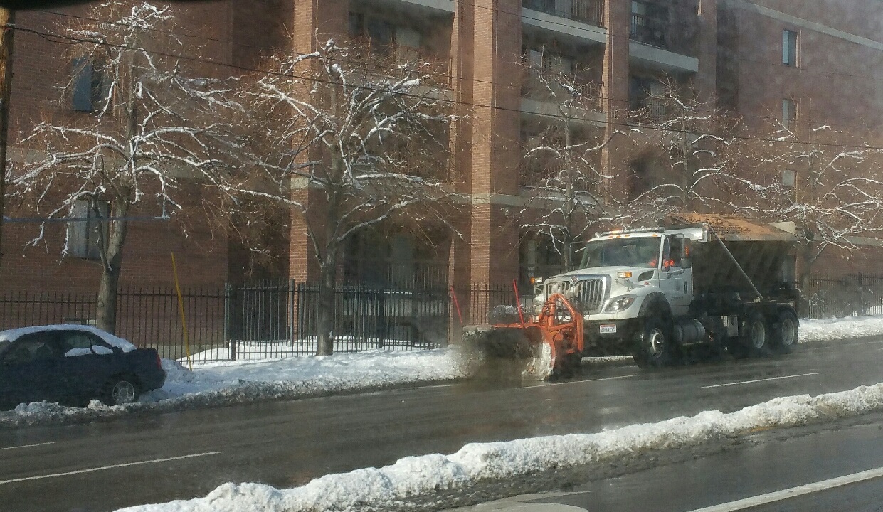
SALT LAKE CITY, Jan. 2, 2017 (Gephardt Daily) — The National Weather Service and Utah Department of Transportation are urging drivers to be prepared for snow and hazardous driving conditions Sunday night and into Monday. Commuters are advised to allow extra time to reach their destinations.
Utah Highway Patrol reported multiple crashes Monday morning.
The NWS in Salt Lake City has a winter advisory in effect until 11 a.m. Monday for Wasatch Front valleys from around Ogden north through Cache Valley, and Box Elder County from Brigham City west to the Nevada border and north to the Idaho border.
There’s a 50 percent chance of snow later on Monday, with accumulations expected to be from 2 to 4 inches.
It may not sound like a lot of snow, but the combination of the snow and freezing temperatures means roads can be extremely slick.
The hazardous weather advisory warns:
“A cold front will remain stalled across central Utah tonight. Generally light snow will spread across the northern area tonight, along and north of this front, with the greatest amounts from about Ogden north to the Idaho border. However…the snow will stick to cold area roads and even light accumulation will impact travel later tonight and into Monday across pretty much the entire Wasatch Front from Nephi north.”
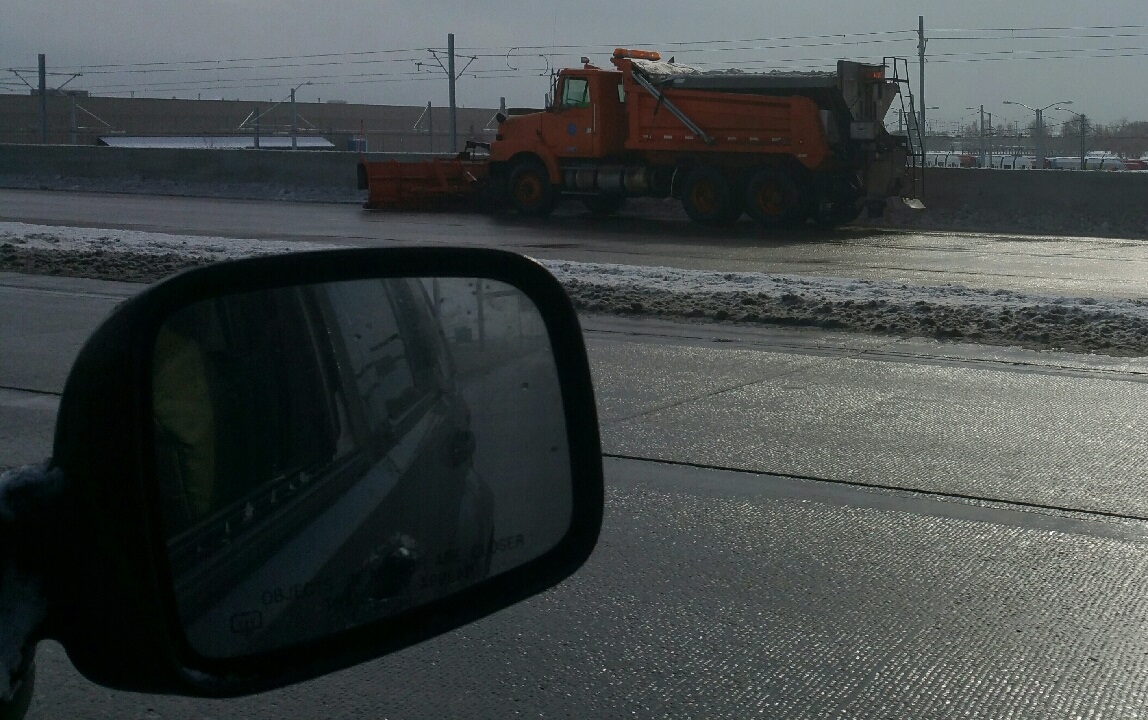
To get information about current road conditions from Utah Department of Transportation, call 511 or go online to www.udot.utah.gov/traffic .
To call from outside of Utah, you can access the same information by dialing toll-free 866-511-UTAH (8824).


