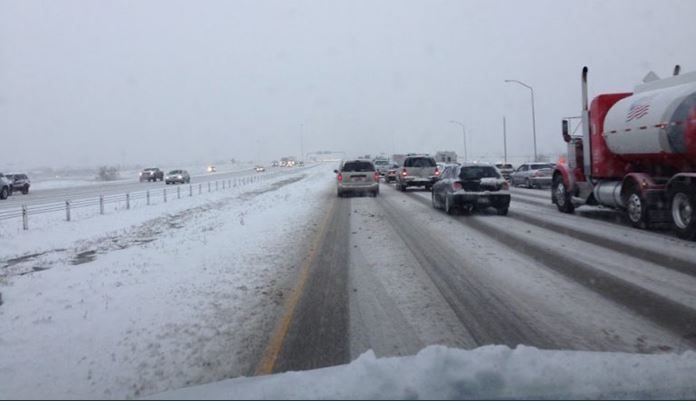
UTAH, Oct. 18, 2019 (Gephardt Daily) — A winter weather advisory was in effect Friday night for much of the Wasatch Front, stretching north of the Utah border and into Idaho, and to Green River to the south.
The National Weather Service, offering the forecasts and the graphics that appear below, says Logan temperatures should hover around freezing on Friday night, but there’s a 100% chance of snow Saturday night.
On the state’s southern border is St. George, enjoying a relatively balmy of 47 Friday night (we said relatively), with Saturday weather forecast as clear and a 75-degree high.
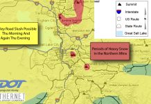
The map below shows conditions as of 9:13 p.m. For updated information and to use interactive features, click the National Weather Service link, here.
 To see local forecasts, check below. Locations are are listed north to south.
● ● ●
Here’s the Logan/Cache County forecast. To check for updated information, click here.


● ● ●
Here’s the Salt Lake City area forecast. To check for updated information, click here.


● ● ●
Here’s the Central Utah forecast from Friday afternoon through Monday, based on weather predicted for Richfield. For updates, click here.


● ● ●
Here’s the forecast for the Moab/Grand Junction, Colo., area. For updates, click here.


● ● ●
And here’s the forecast for the St. George area. For updates, click here.


