Jan. 22 (UPI) — A powerful winter storm is expected to move throughout the U.S. Plains and Midwest through Monday, resulting in blizzard conditions in parts of those regions.
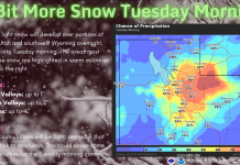
Blizzard warnings were issued from eastern Colorado to southern Minnesota, with heavy wind-driven snow, sleet and icy conditions expected.
A blizzard is defined by the National Weather Service as a storm with winds or frequent gusts of 35 mph or greater and “considerable falling or blowing snow” that leads to reduced visibility for a period of three hours of longer.
A strong low-pressure system is the cause of the storm, pushing the winds and snow from Kansas early Monday into the Great Lakes by Tuesday.
Snow and wind gusts from 30 to 50 mph are expected in parts of northwestern Iowa, southern Minnesota, northern Wisconsin and northern Michigan into Monday.
“Widespread snow and rain will continue to spread across the central and northern states as a winter storm lifts northeast through the Midwest today and through the Northeast by Wednesday,” the NWS said in a statement.
“The snow will be heavy at times over portions of the Central Plains and Upper Mississippi Valley throughout the day before tapering off over the Central Plains tonight.”
Parts of northern New England could see some snow and ice from the storm by Monday evening.
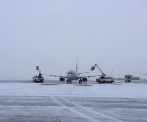
The storm blanketed parts of Denver on Sunday with several inches of snowfall. Almost 200 flights were canceled at the Denver International Airport, representing 15 percent of its daily operations.
St. Francis, Kan., got as much as 7.5 inches of snow on Sunday while Imperial, Neb., got 6.5 inches. In Edgemont, S.D., as much as 11 inches of snow accumulated.


