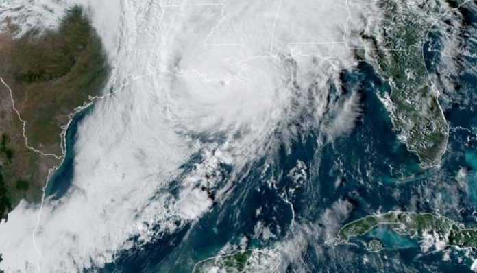
Nov. 11 (UPI) — The National Hurricane Center has issued a hurricane watch for parts of Florida’s Gulf Coast on Wednesday as Tropical Storm Eta made a comeback after passing over the southern tip over the weekend.
The NHC said in its 4 p.m. EST advisory that Eta was located 65 miles west-southwest of St. Petersburg, Fla., and 85 miles southwest of Tampa. It had maximum sustained winds of 70 mph and was moving north at 12 mph.
Eta would strengthen into a Category 1 hurricane once sustained wind speeds reach 74 mph.
The NHC said in its advisory that a tropical storm warning was in effect for Bonita Beach to Suwannee River along with a storm surge warning.
“On the forecast track the center of Eta will move closer to but offshore of the southwest coast of Florida today, approach the west-central coast of Florida Wednesday night, and move inland over the northern portion of the Florida Peninsula on Thursday” the NHC said in its advisory. “Eta is expected to move northeastward into the western Atlantic late Thursday or early Friday.
Eta’s projected track has shifted to the east and is now expected to take the storm across northern and central Florida, from about Tampa on the west and Jacksonville on the east before it heads back out into the Atlantic Ocean.
Meteorologists predict that the biggest threat Eta will pose to the United States will be from heavy rainfall and potential flooding.
Eta, the 28th named storm of the season, is no longer alone in the basin. Subtropical Storm Theta formed over the central Atlantic late Monday evening and set a new record as the 29th named storm of the 2020 Atlantic hurricane season, topping the record set in 2005.


