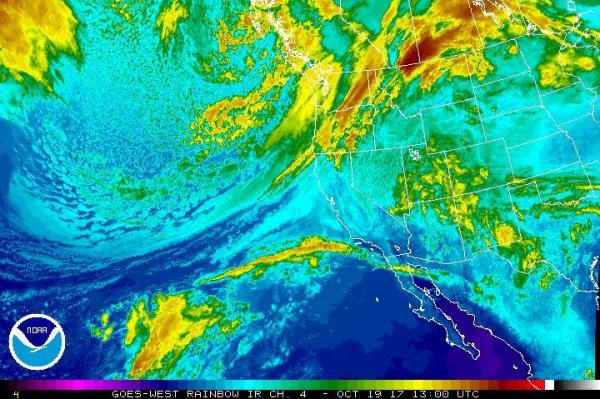
Oct. 19 (UPI) — An atmospheric river storm system is expected to bring high winds, heavy rain and a fleet of snow over the Pacific Northwest in the next few days.
The atmospheric river, which is a thin and long strip of moisture that stretches from warmer climates into higher latitudes, is steering the storm systems from the Pacific Ocean to the northwestern United States.
This particular river in the sky stretches nearly 5,000 miles, stemming from Asia.
Heavy rain is expected in the region over the weekend, particularly on the slopes of the Olympics and the Cascades. Minor flooding could develop in flood-prone rivers in Washington and Oregon as rainfall totals are expected to approach 12 inches by Sunday.
The rainfall could also hit portions of fire-ravaged northern California on Thursday.
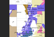
“As a cold front dives across the Pacific Northwest today, precipitation will increase throughout that region and into the northern Rockies,” the National Weather Service said.
“Heavy rainfall is expected to occur in western Washington and northwestern Oregon where there is a marginal risk of flash flooding.”
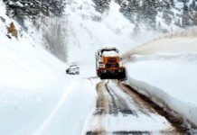
Snowfall is expected on Thursday throughout the Washington and Oregon Cascades and also through parts of the Rockies. Lighter snowfall may hit higher elevations in northern California.
Snow will continue across the Cascades and throughout the northern Rockies through Friday, with the very tops of the mountains possibly encountering 9 feet of snowfall.
By Monday and Tuesday, however, the overall weather pattern will be mostly dry with current forecasts predicting temperatures to be “above the 100-degree mark over Southern California”.


