BEAVER, Utah, June 30, 2026 (Gephardt Daily) — Crews battling the Cottonwood Fire completed roughly 169 miles of fireline on Monday, according to a Tuesday morning update from U.S. Forest Service – Fishlake National Forest.
Current numbers for the wildfire, which was discovered June 22, are 92,820 acres burned and 4% contained.
“Crews went direct on portions of Thompson Ridge thanks to the moderate fire behavior and improved dozer line from the Beaver watershed to Cork Ridge dozer line,” the update says.
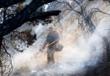
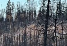
“Last night, low fire activity in the Cottonwood canyon area allowed firefighters to go direct and look for new ways to engage areas of the fire. Crews improved dozer line and established a hose lay. Mop-up operations continue around LeBaron Meadows and Kents Lake.
Today, structure protection operations continue across the fire as well as mop-up around LeBaron Meadows and Kents Lake. Firefighters will work to improve the trail from Cork Ridge into the trail systems of the surrounding Forest systems where they plan to engage in direct firefighting when possible.
A Fire and Fuels Advisory has been issued for Utah due to low fuel moisture and pontetial extreme fire behavor and rapid fire growth. A passing weather system will bring a slight increase in moisture to the region during the afternoon. Fire activy is expected to increase throughout the afternoon as temperatures increase and humities decrease.
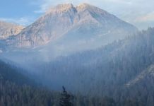
Smoke: Unhealthy air quality can be expected during the morning for several locations Tuesday and Wednesday. Be prepared for changing conditions.
Current evacuation information can be found at this link for Piute County and this link for Beaver county. State Highway 153 is closed in both directions.
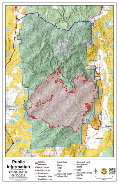
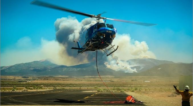
U.S. Forest Service – Fishlake National Forest image