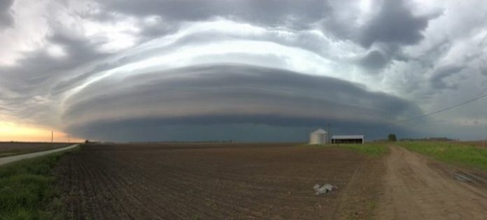
May 18, 2019 — All modes of severe weather will be possible through the weekend as a vigorous storm system plows into the central United States threatening at least 18 states and over 40 million residents.
Large hail, tornadoes, life-threatening flash flooding and damaging winds could be unleashed by the severe thunderstorms.
The multi-day severe weather outbreak first got underway Thursday across the parts of Iowa, Illinois and Indiana. Wind gusts of 86 mph were recorded in Washington, Iowa, while hail the size of baseballs fell in Westville, Ill. A tornado was reported in Sheridan, Ill., about 50 miles southwest of downtown Chicago. No injuries were reported.
Friday’s threat area encompassed areas from central Texas to southeastern South Dakota and southwestern Minnesota. The highest risk for damaging storms and tornadoes was focused on central Nebraska and southeastern South Dakota.
The initial storms on Friday afternoon unleashed golf ball-sized hail near Goodland, Kan., and Thedford, Neb.
AccuWeather Extreme Meteorologist Reed Timmer reported on the AccuWeather Network as he headed to chase severe weather in western Nebraska on Friday.
“Tornado Alley is certainly waking up with significant severe weather,” Timmer said while breaking down the multi-day outbreak. Earlier this week, he said this is the worst setup for severe weather he has seen in years.
The severe weather setup will be similar on Saturday, but will shift a little farther east. Severe thunderstorms are likely in an expansive area Saturday into Saturday night from central Iowa, much of Missouri and Kansas, eastern Arkansas, Oklahoma and northern and central Texas. Major metro areas like Dallas, Oklahoma City, Kansas City and Des Moines are at risk on Saturday.


