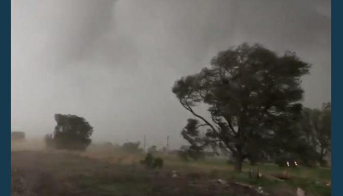
May 19, 2019 (UPI) — After a weekend of what AccuWeather Extreme Meteorologist Reed Timmer called the worst setup for severe weather he has seen in years, the National Oceanic and Atmospheric Administration’s Storm Prediction Center issued over 50 preliminary tornado reports across the central United States, and there may be more tornadoes on the way.
As of Sunday morning, there has been at least one injury in Ballinger, Texas, and an unconfirmed number of other injuries in Coalgate, Oklahoma. All of these injuries occurred Saturday.
The core of the storm that brought tornadoes to the central Plains moved into the Midwest on Sunday, sparking severe weather all the way down to Louisiana.
Friday
The severe weather data gathered Friday evening confirmed tornadoes tearing through areas of Texas, Oklahoma, Nebraska and Kansas. The National Oceanic and Atmospheric Administration’s Storm Prediction Center issued about 50 preliminary tornado reports for Friday alone.
Some of the more notable tornadoes caught on video blew through McCook, Farnam and Cozad in Nebraska, and Forgan in Oklahoma.
Around 5:45 p.m. CDT, a tornado was reported near McCook, Nebraska. The SPC reported power lines downed, trees damaged and minor damage caused to a farm.
Timmer was reporting from Nebraska for the AccuWeather Network and intercepted the tornado near McCook on foot, losing his hat in the process.
The National Weather Service later rated the tornado as an EF2. The tornadoes near Farnam and Cozad were rated as EF1s. The tornado near Forgan has yet to be rated.
Storm chasers for AccuWeather caught footage of tornadoes from Nebraska to Oklahoma.
Saturday
The SPC issued a total of 17 preliminary tornado reports for Saturday. The tornadic activity fired up as early as around 5:30 a.m. CDT when residents of San Angelo woke up to a later-confirmed tornado damaging their homes and tearing roofs off storage units.
Another tornado hit Abilene just before 6 a.m. CDT. A resident in Abilene, Texas, tweeted about flipped cars and damage to a nursing home after the tornado swept through the area. The SPC reported roofs blown off homes and trees knocked down.
Storm chasers for AccuWeather caught footage of tornadoes from Nebraska to Oklahoma.
At 7:36 a.m. CDT, a tornado tore through Ballinger, Texas, causing at least one possible injury and demolishing a house off FM2111. According to the report, the damage track in Ballinger stretches from the country club to a local high school. The tornado also snapped trees, downed power lines and damaged a baseball stadium and a water tower. There have been reports of flooding in some homes around the area.
Not even five minutes after the Ballinger tornado occurred, another tornado was reported in Geronimo, Oklahoma, at 7:38 a.m. CDT, damaging homes and trees. Area emergency management noted that the tornado may have begun as early as 7:35 a.m. CDT.
A fifth tornado hit Silver Valley, Texas, at 8:39 a.m. CDT, scattering downed trees across roads and damaging a church roof.
The Geronimo and San Angelo tornadoes were rated as at least EF2s.
Around noon, a possible tornado blew through Coalgate, Oklahoma, damaging a natural gas production facility and causing several major injuries due to flying debris.
The Dallas-Fort Worth International Airport had canceled over 560 flights and delayed another 515 others by late Saturday evening, according to FlightAware.
Over 100,000 customers were left without power from Texas to Iowa during the height of the storms on Saturday. About 62,000 still remain without power as of noon on Sunday according to PowerOutage.US.
In the afternoon, Dallas-Fort Worth Airport recorded a 62-mph wind gust during the severe storms, and major street flooding was reported across I-30 in Forth Worth, Texas, in which the Fort Worth Fire Department looked into.
Nearly 49,000 power outages occurred in Texas alone, and tornado warnings went into effect across Arkansas around 2 p.m. CDT.
Sunday
As the storm tracked eastward , it stirred up a few more tornadoes around 3:20 a.m. CDT in Singer, Louisiana. The SPC reports tree damage along with one falling inside a woman’s home.
Emergency management reported demolished gas pumps at a station in Ville Platte, Louisiana, around 5:57 a.m. after a possible tornado.
At 9 a.m. CDT, the NWS warned in a tweet of a possible tornado moving through Tangipahoa Parish. The NWS has yet to confirm a tornado. As the tornado warnings expire, flood warnings begin to take their place as New Orleans is left to deal with the aftermath of the storm.


